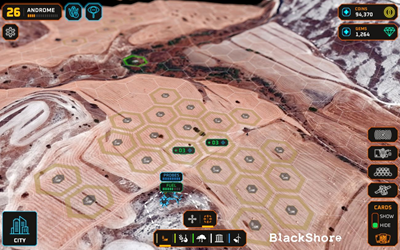
ESA BIC Noordwijk alumnus BlackShore’s geospatial products based on crowd-sourced interpretation of satellite imagery are used for climate impact monitoring, etc. Read the interview as part of #20yearsESABIC.
20 years of ESA BIC: BlackShore’s Earth mapping solutions used for climate impact monitoring and food security
read more